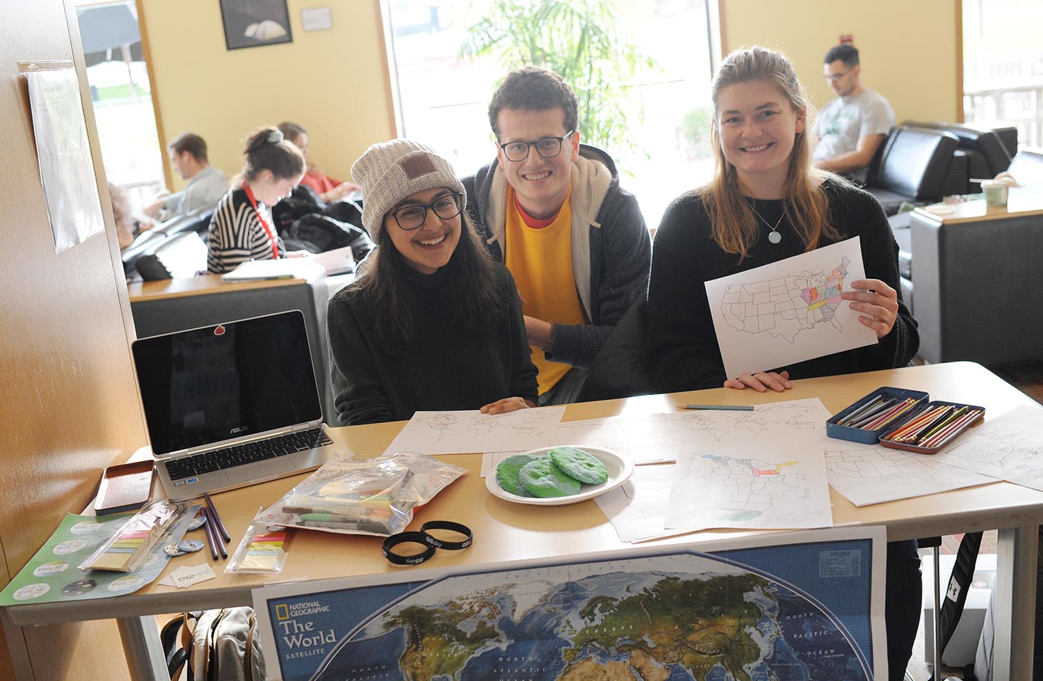
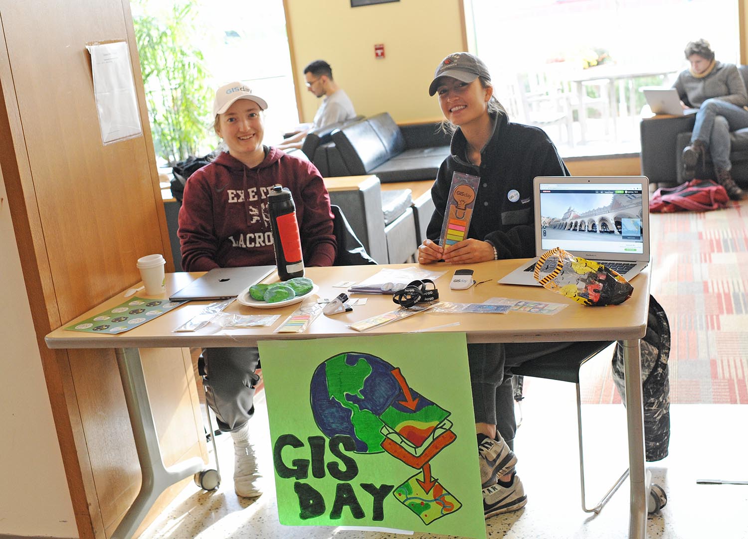
Wesleyan Celebrates GIS Day with Hands-on Activities

On Nov. 14, Wesleyan celebrated geography, mapping, and spatial data analysis at the annual GIS Day. GIS Day provides an international forum for users of geographic information systems (GIS) technology to demonstrate real-world applications that are making a difference in our society. The first formal GIS Day took place in 1999.
During GIS Day, the Wesleyan community was invited to participate in multiple activities, including a hands-on humanitarian map-a-thon, a seminar on digital storytelling with maps led by Sam Raby ’17, and games involving “Fun with GIS.” The events were led by students taking the E&ES 281: GIS Service Learning course and Kim Diver, associate professor of the practice in earth and environmental sciences. Diver’s research focuses on island biogeography, with particular interests in water level changes, isolation metrics, forest dynamics, and applications of GIS to investigate spatiotemporal distributions of insular plant species.
Wesleyan joined hundreds of organizations and institutions from North America, South America, Europe, Africa, Asia, and Australia in hosting GIS Day gatherings. For more information, visit Wes GIS.
Photos of GIS Day are below:

—