EE&S Students Develop Research, Observational Skills through Puerto Rico Fieldwork
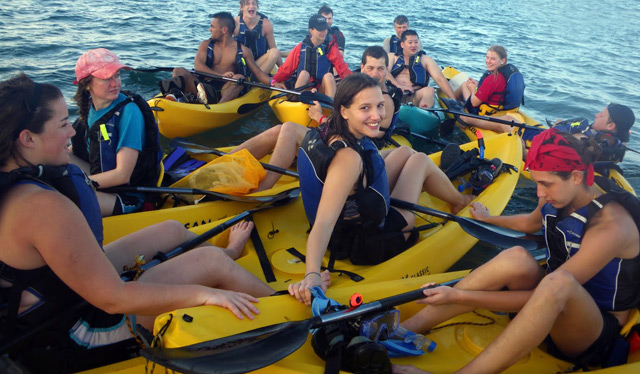
This semester, 18 earth and environmental sciences majors explored dwarf mangrove forests, studied landslide susceptibility in a rainforest, examined if cave rocks record bat inhabitation, and analyzed the chemistry of coastal seagrass – all in Puerto Rico.
The students, who are enrolled in the E&ES 398 course Senior Seminar, developed observational, interpretative and research skills through their island studies. The seniors traveled to Puerto Rico in January for fieldwork, and spent the past few months analyzing their findings.
They presented their Senior Seminar Presentations on April 19 and 21 as part of the Stearns Colloquium Series.
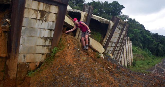
Jamie Thabault, Gabrielle Jehle, Jared Schroder and Rebecca Schofield collaborated on a project titled “Creating a Landslide Susceptibility Map for El Yunque Rainforest.” The students studied an area on the northeast side of the island that receives about 155 inches of rain each year.
By exploring the area on foot, and using historical landslide distribution data in conjunction with maps of likely contributing factors, the students designated areas most susceptible to landslides. They used remote sensing to verify their own susceptibility map.
“We found that slope was the most influential factor in landslide susceptibility,” Jehle says. “Also that roads and streams destabilize slopes.”
The team said their findings could aid in forest management, urban planning and development and recreational safety.
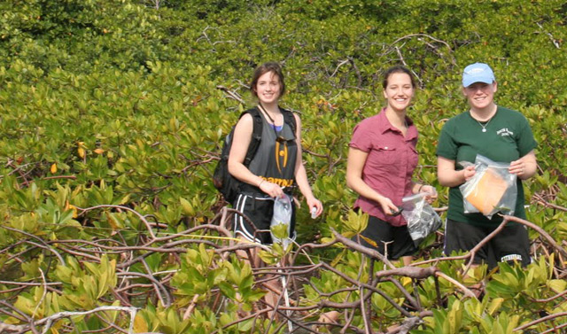
Max Perel-Slater, Teddy Newmyer, Ivan Maulana, Elliott Skopin and Chris Alvanos completed a “Spatial Evaluation of a Dwarf Mangrove Forest” in Ceiba, Puerto Rico.
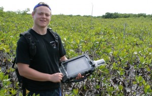
In certain areas of the island, red mangroves are inferior in size. They have smaller stems, and their growth rate is slow. These “dwarf” mangroves, which are less than 1.5 meters high, may recycle nutrients in different ways.
“The pattern of nutrients in a mangrove forest is very complex,” Maulana explains. “There are several environmental factors that we need to consider.”
The students looked at two transects 400 meters apart: one 220 meters long and the other 110 meters long. They studied the salinity and nutrients (with an emphasis on phosphorus) of the mangrove forests by measuring the trees and sampling the leaves, peat and water.
After analyzing the trees’ height vs. distance from the shoreline, taking into account salinity, vegetation density, and phosphorus levels, the group concluded that the two transects showed very different growth patterns despite being in relatively close proximity.
“These results would be useful to better understand stressors on mangrove habitats, which are essential to protecting coasts, and which will face increasing pressure in this time of climate and sea-level change,” Maulana says.
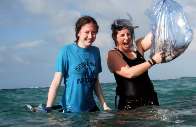
Hannah Bourne, Hayley Corson-Rikert, Emilie Kimball and Timur Khanachet researched “The Nutritional Status and Environmental Condition of Bioluminescent Bays and Coastal Seas: Evidence from Chemical Analysis of [seagrass] Thalassia testudinum.”
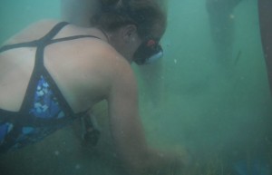
These students evaluated how two marine ecosystems are impacted by anthropogenic activity – or human impact – by collecting turtle grass. They sampled a tidal-flushed, open-ocean area known as the Seven Seas, and a bioluminescent bay called Laguna Grande.
“Seagrass can be used an indicator of ecosystem health,” Bourne explains. “The concentration of nutrients and metals in the plant’s tissues is a reflection of the concentrations of nutrients and metals in the ambient water column and sediment.”
After collecting seagrass and sediment samples at multiple locations in each ecosystem, the students measured carbon, nitrogen and phosphorus concentrations as well the nitrogen isotope composition of the leaves. Seagrasses in both locations showed similar concentrations of phosphorus and nitrogen, and appeared to be particularly enriched in nitrogen. The nitrogen isotope analyses indicated that the nitrogen was derived from a natural source.
“Despite the two environments being very different, there wasn’t as much variation in nutrient concentration as we expected,” Bourne says.
They also tested the grass for metals, and discovered that concentrations were higher in the bay than in the open ocean.
“This is likely because of the limited exchange experienced within the bioluminescent-bay system as well as the dominance of different mechanisms of sediment formation within this closed environment,” Corson-Rikert says.
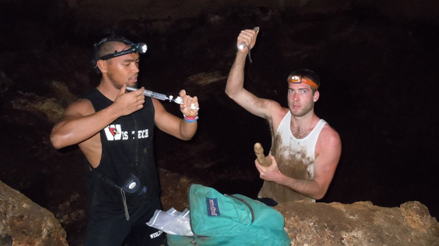
Laura Anderson, Talia Bernstein, Daniel Conroy, Molly Friedemann, and Marek Loder researched “Bat Influence on Cave Microclimates: Evidence from Isotope Records in Speleothems.”
For this project, students ventured into “hot” and “cold” caves, to measure humidity, temperature and partial pressure of carbon dioxide (PCO2), obtained from respiration. The cold cave measured about 74 degrees; the hot cave, which housed approximately 300,000 bats, soared to 91 degrees. Bats contribute to the microclimate of the hot cave by increasing PCO2 and humidity.
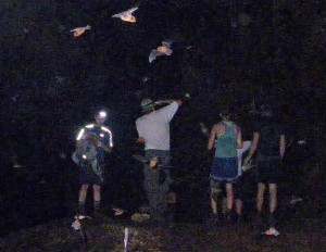
“We believe that the decomposition of the bat guano, the body heat of the bats, and low ventilation all contribute to the heat we measured,” Loder explains.
The students also collected speleothems, mineral deposits such as stalagmites or stalactites, from the caves. They looked specifically at Carbon-13 to Carbon-12 and Oxygen-18 to Oxygen-16 “stable” isotope ratios to identify chemical differences between the hot and cool caves. Lastly, they took isotopic measurements throughout the different layers of each speleothem to determine how, or if, the caves micro-climates may have changed over time.
The group determined that PCO2, humidity and ventilation of the microclimate within a cave system determines degassing and precipitation rates, which strongly influence the isotopic measurements.
“We found that there is a clear isotopic difference between hot and cool cave speleothems,” Loder says.
Tim Ku, associate professor of earth and environmental sciences, and Phil Resor, assistant professor of earth and environmental sciences, taught the class.

