E&ES Seniors Conduct Capstone Research at Wesleyan’s Long Lane Forest

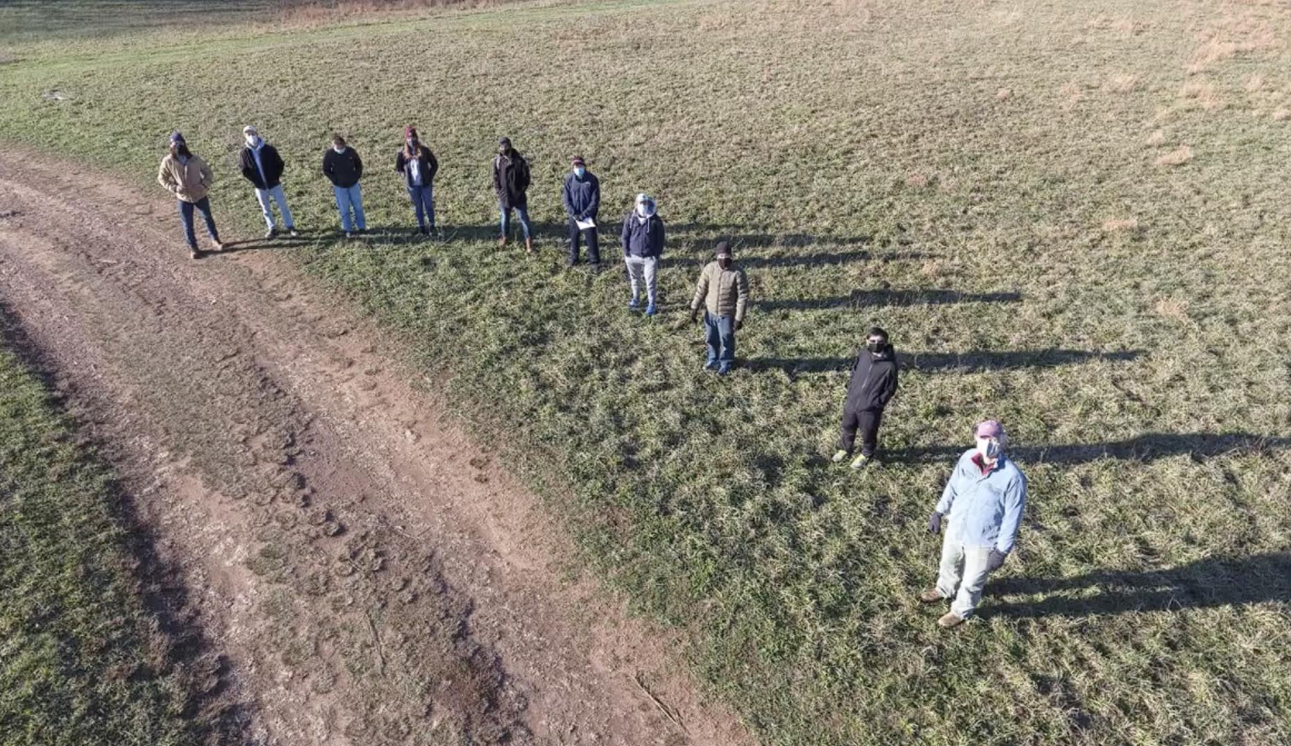
Ten students majoring in earth and environmental sciences (E&ES) have completed their senior capstone projects.
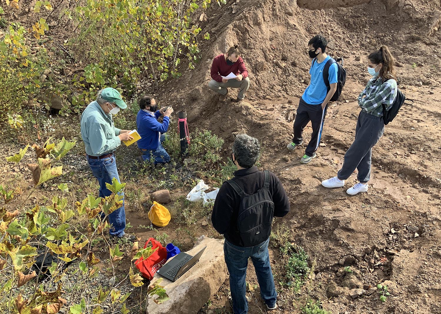
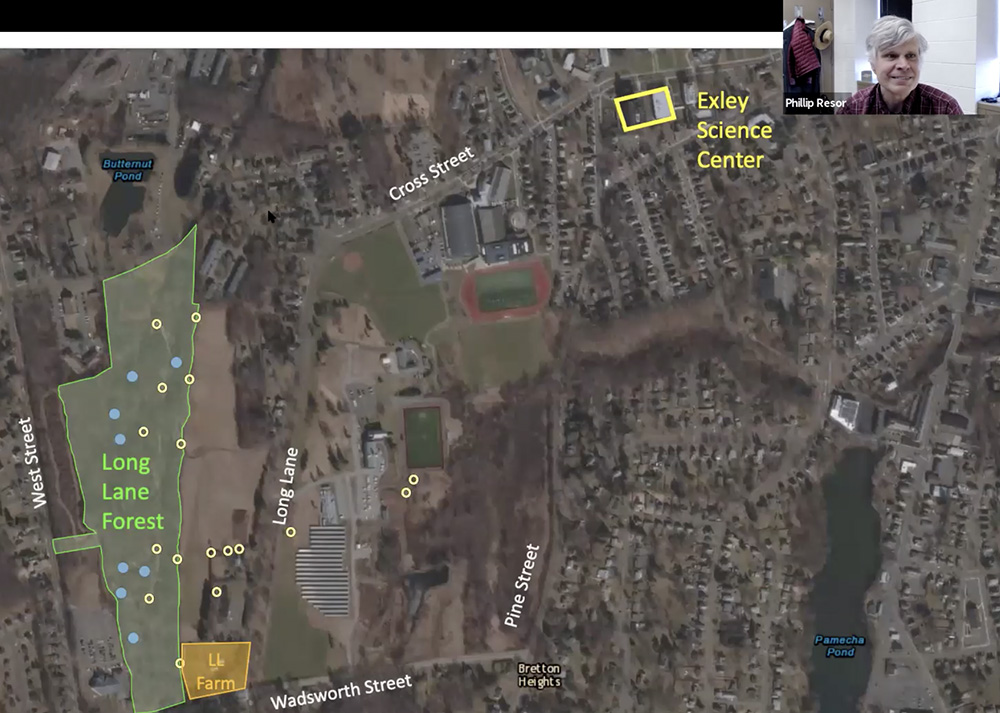
Each year, seniors in the major embark on a capstone experience that starts with a seminar in the fall (E&ES497) in which students design an original research project, go on a field trip to carry out the research and complete their fieldwork, and then analyze their results and present them in written reports and oral presentations. In past years, students have ventured across the globe for their field trips. However, the pandemic caused this year’s projects to look a little different. This time, the field trips took place in a spot nearer and dearer to their hearts—Wesleyan’s Long Lane Forest, which is just a half-mile west from the heart of campus.
In the fall, students studied forests similar to Long Lane Forest and the larger environmental questions that these forests could address. Several researchers from all over the world visited the class via Zoom to share insights on their own research and the forests they had studied. The class generated ideas of how they could do similar things in their own forests. From those ideas, three projects were born.
Vegetation Group: “Carbon Storage and Potential for Emissions Offset in the Long Lane Forest”
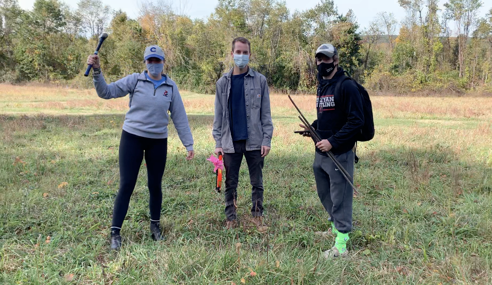
Thomas Davoren ’21, Rebecca Downer ’21, Terra Ganey ’21, and Andrew Hennessy ’21 sought to quantify carbon in Long Lane Forest. They documented the carbon sequestered in the forest, using a combination of fieldwork, laboratory work, and forest analysis.
Their project establishes a baseline for calculating “carbon sink” potential of the forest in future years and its potential contribution toward meeting Wesleyan’s goal to achieve carbon neutrality for all greenhouse gas emissions before 2035.
“One strategy to offset carbon emissions is to preserve forests and to increase tree planting, and this is because forests can store carbon in various different pools,” Downer said.
The group recommended that the University reduce travel as much as possible to increase the likelihood that the forest produces enough carbon to offset its emissions, and perhaps more important, to convert the underdeveloped land around the University into forests, which would increase the amount of carbon that the campus landscape stores every year.
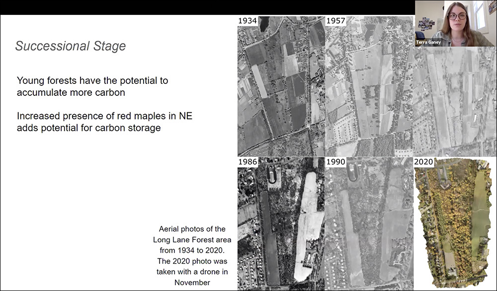
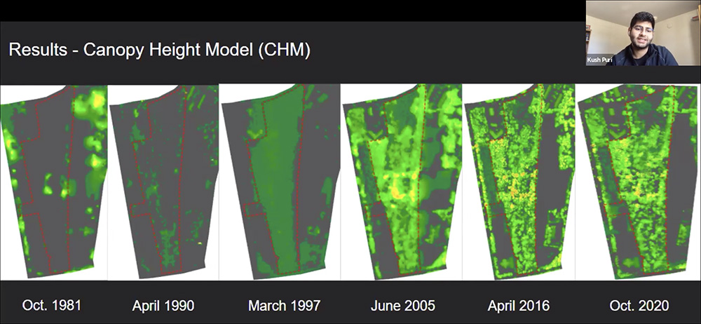
Mapping Group: “Developing a Canopy Height Model to Determine Spatio-Temporal Forest Structure and Biomass Changes of the Wesleyan Long Lane Forest from 1981–2020”
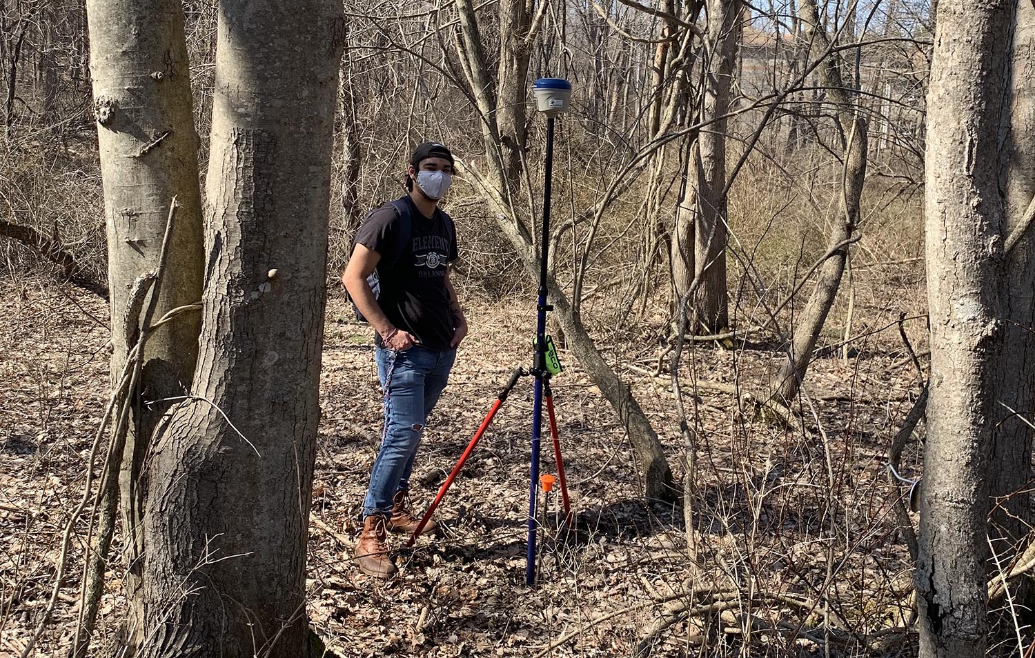
Yuke Kirana ’21, Xavier Lopez ’21, and Kush Puri ’21 investigated how the forest height and biomass of the Long Lane Forest has changed in the past 39 years. They used novel remote sensing techniques (LiDAR, unmanned aerial vehicles, and stereo aerial photography) to carry out their research, modeling how the forest has grown over the last 50 years.
The group found that between 2005 and 2020, there has been a gradual slowing of carbon accumulation as the forest ages.
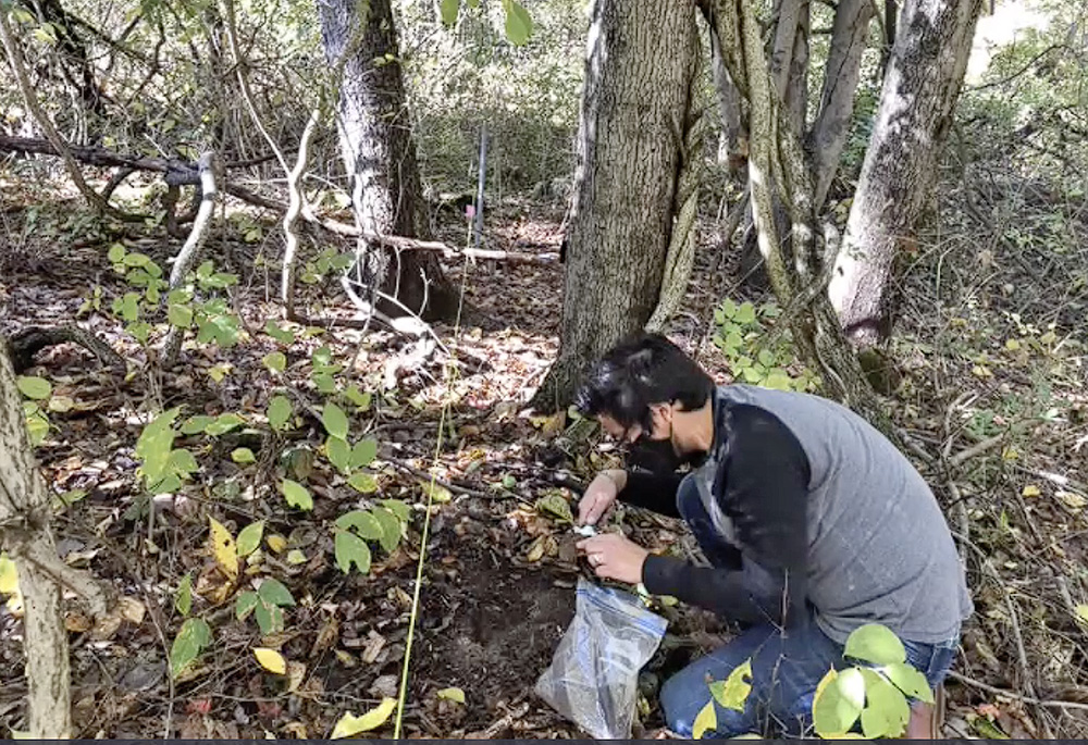
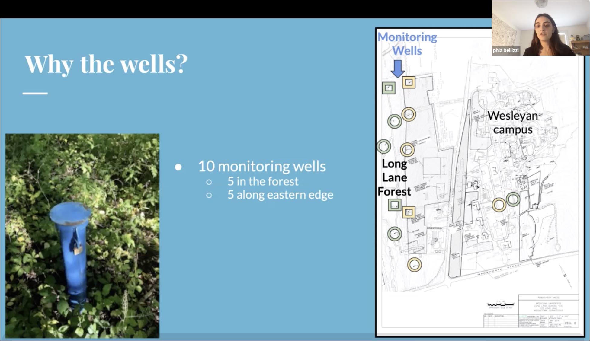
Phia Bellizzi ’21, Cole Reistrup ’21, and Timothy Yen ’21 tested how groundwater—the water found in aquifers below the earth’s surface that is essential for domestic and irrigation water, providing nutrients to ecosystems, and helping to maintain lakes, rivers, and wetlands—responds to precipitation.
“With climate change, average global temperatures are rising. Due to this, different regions are responding to this change in different ways, specifically in the northeastern region of the U.S. [where] precipitation levels are becoming less frequent, but . . . much more intense,” Bellizzi said. “Increased rainfall intensity reduces overall infiltration of soils and creates greater runoff to nearby streams . . . and a decrease in groundwater can lead to many negative effects on the environment, society, and the economy.”
To understand whether lower aquifer “recharge” rates were affecting the ecology of the forest at Long Lane, the students plotted historical monitoring well data, analyzed groundwater and precipitation data, performed slug tests, and collected water table data over the winter break.
Although their results were inconclusive as to how groundwater responds to different types of precipitation events, they did conclude that faster groundwater flow rates at lower elevations might make those areas more susceptible to potential contamination.