Tour Wesleyan’s Campus on Google Maps

Prospective students from around the globe who are eager to explore Wesleyan’s 340-acre campus can now do so from the comfort of their homes, thanks to a new partnership with Google.

Over the past few months, Google Maps has released new imagery of university campuses, including Wesleyan’s, in its “Street View” collections. Google describes its expanding collection as an “ongoing effort to create a virtual mirror of the world.”
According to a Jan. 11 Los Angeles Times story featuring Google’s virtual campus tours, “Google announced it has more than tripled the number of university partners that participate in its Street View Program, allowing parents and students to imagine strolling along the Charles River at Boston University or enjoying the sunshine at Wesleyan University’s Foss Hill, right on the computer.” Google’s updated list includes 27 universities in the U.S., 40 in Japan, two in Canada, two in Denmark, 10 in Great Britain and 11 in Taiwan, according to the Times story.
To take a look around, visit Google Maps on your web browser and enter Wesleyan University in the search box on top. Drag the little “yellow man” (found on the upper left of the map between the compass and zoom feature) to a point on campus you wish to see up close.

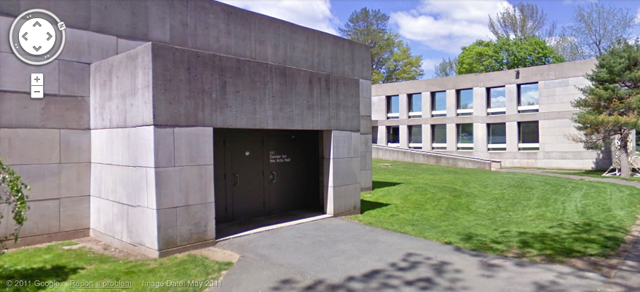
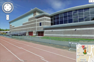
After you’re transported to that spot, click around to advance in any direction. Stroll down historic College Row; visit the Usdan University Center; and check out the Freeman Athletic Center and the outdoor Andersen track. Admitted students can preview their future residence halls; alumni can take a trip down memory lane; and parents missing their Wes students can peer in on their classrooms and favorite hangout spots.
Curious how this all came to be? On May 10, 2011, Google employee Doug Cody ’09 rode around campus on a special three-wheel pedicab called a trike, which was equipped with cameras pointing in all directions for a panoramic view. (View photos online here.)

