New Research to Explore Drought Mitigation

Over the past century, forests across the western United States have become vulnerable to catastrophic wildfires due to climate change. Overall, forest management activities for lowering wildfire risk appear to help, but little is known about how these activities influence forest water availability and water cycling, important indicators of drought.
This is the key question that Environmental Studies Professor Helen Mills Poulos and her research team at Northern Arizona University, led by Temuulen Tsagaan Sankey, will attempt to address in a new NASA-funded research project.
Poulos and her research team received a $597,000 grant from NASA in November to study how forest management activities in Arizona focused on reducing fire risk also increase the forests’ ability to withstand drought.
First, Poulos and her team will calibrate the ECOsystem and Spaceborne Thermal Radiometer Experiment on Space Station (ECOSTRESS) sensor that measures plant water cycling from space. Then, they will estimate water savings from recent forest management activities across the state of Arizona in an effort to identify best management practices for maintaining healthy forests across the arid Southwest.
The frequent scans of the ECOSTRESS sensor and the high spatial resolution it offers allow researchers around the world to evaluate how land surface temperature and plant water cycling vary in response to a number of phenomena, from heatwaves to wildfires.
“ECOSTRESS imagery provides the unique opportunity for us to scale local, field-based forest water cycling across landscapes to understand how adaptive management activities can bolster forest health,” Poulos said.
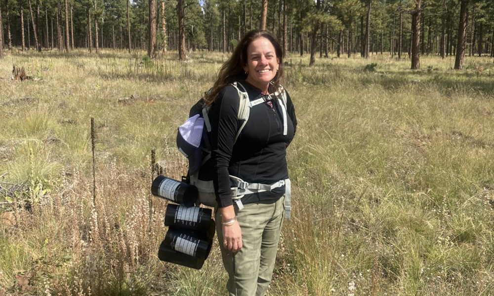
Poulos and her team are already collecting data on land surface temperatures and moisture in the forests around Flagstaff. The areas they study have been subject to a variety of mitigation efforts, so they will be able to evaluate the efficacy of certain forest treatments while simultaneously calibrating the ECOSTRESS sensor.
“The cool part is that once we calibrate the instrument, we will be able to scale the data across all treated areas of Arizona forest to estimate the value of forest management for improving water availability to wildlife and downstream users. We can use those adjusted values to figure out which management practices have the best water savings across the state, and possibly in other parts of the West where forest managers are experimenting with a range of techniques for mitigating wildfire risk and improving forest health,” Poulos said.
Tradeoffs are inherent in deciding which management activities to carry out on the landscape. For example, prescribed fire may be not be feasible everywhere, nor can crews treat all forests with mechanical thinning because of their remoteness and inaccessibility, Poulos said.
Products from this research are directly applicable to forest management in Arizona and beyond and may also inform state policies for mitigating forest drought and wildfire risk.

