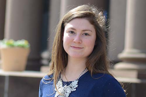
In this issue of News @ Wesleyan, we speak to DeNeile Cooper from the Class of 2015. Q: DeNeile, as part of a GIS (Geographical information systems) service-learning project, you've been working on a interactive campus map project. What is the purpose of the map? A: We wanted to create an interactive map for the Wesleyan website that would allow Wesleyan parents, students and prospective students to navigate the campus in a more engaging manner. The interactive map not only illustrates every building on campus to-date, but color codes them according to their usage, for example, purple buildings represent dormitory halls,…
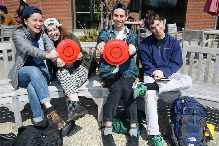
On April 2, the Wesleyan community celebrated the inaugural Foss Hill Day. The theme of the day was “Foss Hill: Our Common Ground." Foss Hill reminds Wesleyan students and alumni of their common purpose: supporting students and the future of liberal arts education at Wesleyan. On campus, Wesleyan hosted an information booth behind Usdan University Center. Staff passed out flying disks and other Foss Hill Day memorabilia, provided cake, games and raffle prizes. More than 860 members of the Wesleyan community contributed to the success of Foss Hill Day. Tom Kelly '73 provided a challenge grant to inspire others to give. "I want to…
Pedro Alejandro, associate professor of dance, Brittany Delany ’09 and Sarah Ashkin ’11 are collaborating on a new choreography project in New Mexico. The project titled “Chancy Dancing” will premier at 8 p.m. April 11 at the Railyard Performance Center in Santa Fe. Marcela Oteiza, assistant professor of theater, is developing the visual design of the work. The first half of the performance features Ashkin and other local choreographers’ most recent works spanning a spectrum of modern dance, dance theater and improvisational systems. (more…)
#THISISWHY Kai Blatt ’17 has been selected to take part in the Doris Duke Conservation Scholars Program at the University of Washington. This eight-week, all expenses paid “classroom-in-the-field” program helps students develop their vision for conservation, and gives them the natural and social science skills to become a conservation change-maker. The program is just entering its second year of existence, and this will be the second year a Wesleyan student has participated. Blatt, who is from Los Angeles and plans to major in studio art and biology, learned of the program from her friend Joseph Eusebio ’17, (more…)
On April 2, Wesleyan will host the 1,443rd meeting of the Connecticut Academy of Arts and Sciences (the third oldest learned society in the Unites States, chartered in 1799) on campus. To honor the proud occasion, Joseph Siry, professor of art history, the Kenan Professor of the Humanities will give a public lecture presentation about his research. Siry's talk, titled "Air Conditioning in the United States Capitol: Architecture, Technology and Congressional Life," will take place at 5 p.m. in the Center for the Arts Hall. The U.S. Capitol offers an illuminating case study of how modern architecture developed mechanically before…
Wesleyan's Office of Sports Information provided the following athletic highlights on March 24: Holding Pomona-Pitzer to seven hits and two runs with five strikeouts, Gavin Pittore ’16 upped his record to 2-1 on the season, while giving baseball a win in its final game out west. Pittore was named NESCAC Pitcher of the Week. Jon Dennett ’15 added four hits during the final four games to join the 100-hit club as the 49th Cardinal to do so. Andrew Yin ’15 hit .438 over the week with seven safeties as he rose to No. 5 on the all-time Cardinal hits list…
In early March, Magda Teter, the Jeremy Zwelling Professor of Jewish Studies, gave the opening talk at a symposium in Poland on the 50th anniversary of the Declaration "Nostra Aetate" issued by the Second Vatican Council, which changed the tone and relations between Jews and the Catholic Church. Teter spoke on "Continuity and Change in 'Nostra Aetate.'" Teter also is chair and professor of history, professor of medieval studies. Teter has been involved in Jewish-Catholic dialogue in Poland for the past three years. Her research into post-Reformation Europe led her to meet with a bishop in the southeastern Polish town of Sandomierz, a town long…
Wesleyan was strongly represented by faculty, undergraduates and alumni at the Biennial Meeting of the Society for Research in Child Development, the major conference in the field. The meeting was held in Philadelphia, Pa. March 19-21. Members of the Cognitive Development Labs, co-directed by Associate Professor of Psychology Anna Shusterman and Associate Professor of Psychology Hilary Barth, presented research at the conference. Former lab coordinator Jessica Taggart presented work done with Jillian Roberts '15, current lab coordinator Lonnie Bass, and Barth titled, "Minimal group membership and children's ideas of equality." This is Roberts' senior thesis project. Andrew Ribner '14 presented his senior thesis, "Preschool…
With more than 20 vendors from throughout New England and the tri-state area selling new and used music in all formats, the 88.1 FM WESU community record fair has become a cherished tradition, attracting a diverse crowd of new and old record collectors. The WESU Spring 2015 Record Fair will take place from 11 a.m. to 4 p.m. March 28 in Beckham Hall. Browse new and used CDs, records, music-related apparel, books, WESU merchandise and more. WESU DJs will be spinning records live throughout the day to inspire your crate digging. "Each vendor will be offering their own unique mix…
The Natural Sciences and Mathematics Division is sponsoring its annual Celebration of Science Theses from 12:30 to 2 p.m. April 17 in Exley Science Center. Poster presentations will be made by NSM honors and MA students. Refreshments will be provided. The entire Wesleyan community is invited. "Come join us in appreciation of our students’ achievements," said Manju Hingorani, professor of molecular biology and biochemistry. The event is co-organized by Hingorani; Barbara Juhasz, associate professor of psychology, associate professor of neuroscience and behavior, director of the Service Learning Center; and Seth Redfield, assistant professor of astronomy.
The Allbritton Center for the Study of Public Life welcomes "auto czar" Ron Bloom '77 to campus April 8. Bloom will speak on "We almost lost Detroit: A hopeful tale about cars, crises, cities and America," at 7:30 p.m. in PAC 001. After graduating from Wesleyan with a BA in history in 1977, Bloom received an MBA with distinction from the Harvard Graduate School of Business Administration in 1985. After working as the assistant to the president for United Steelworkers, Bloom was appointed by President Obama be the senior advisor to the Secretary of the Treasury on the President’s Task Force on…
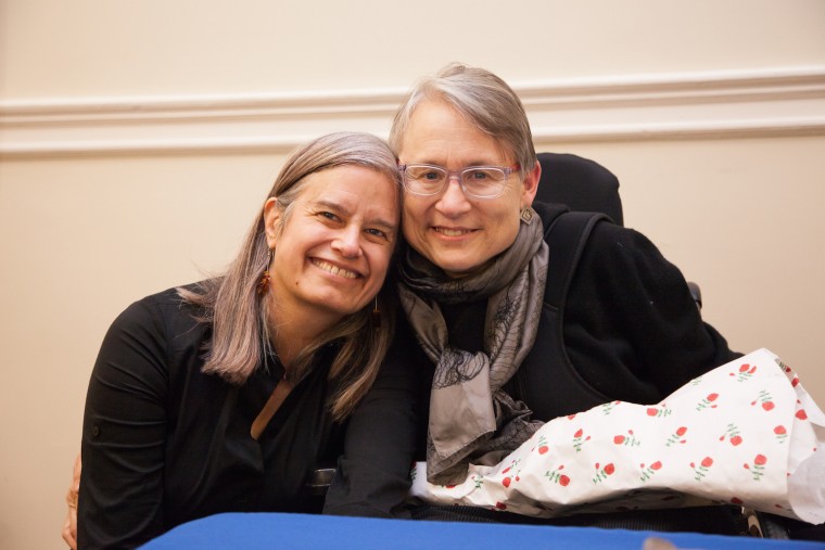
Christina Crosby, professor of English, professor of feminist, gender and sexuality studies, was honored at an event March 10 at Barnard College. Several Wesleyan faculty and alumnae participated in the discussion. The event, titled "Body Undone: A Salon Honoring Christina Crosby," was hosted by the Barnard Center for Research on Women and NYU's Center for Gender and Sexuality Studies. It focused on Crosby's forthcoming memoir of living with disability, Body Undone: Living on After Great Pain. The memoir will be published by NYU Press in the "Sexual Cultures" series. In 2003, Professor Crosby broke her neck in a bicycle accident. "Spinal cord injury…


