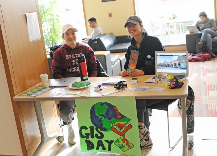
On Nov. 14, Wesleyan celebrated geography, mapping, and spatial data analysis at the annual GIS Day. GIS Day provides an international forum for users of geographic information systems (GIS) technology to demonstrate real-world applications that are making a difference in our society. The first formal GIS Day took place in 1999. During GIS Day, the Wesleyan community was invited to participate in multiple activities, including a hands-on humanitarian map-a-thon, a seminar on digital storytelling with maps led by Sam Raby '17, and games involving "Fun with GIS." The events were led by students taking the E&ES 281: GIS Service Learning course…