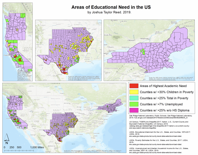
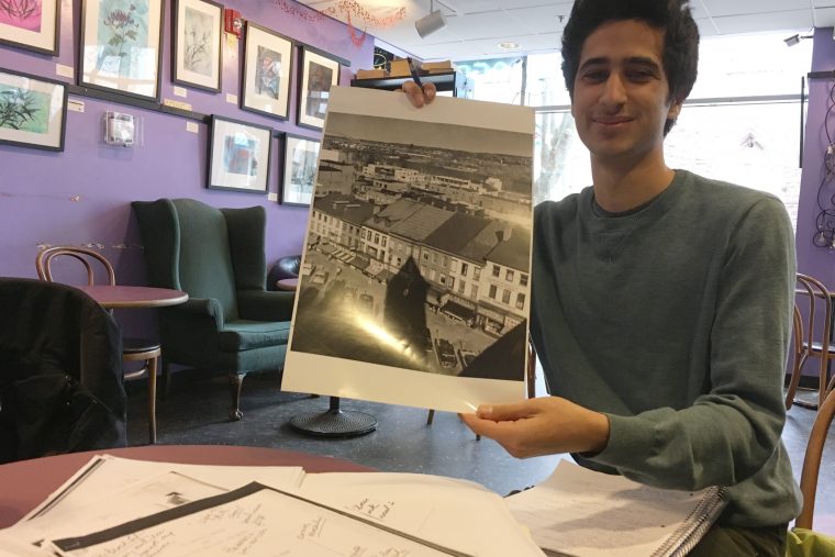
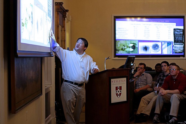
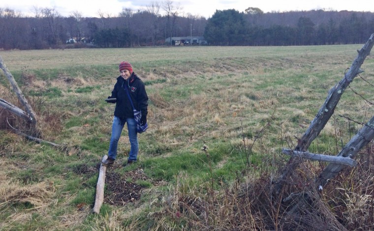
Fifteen Wesleyan students who were enrolled in the Introduction to GIS course this fall learned how to apply GIS concepts and skills to solve local problems in environmental sciences. Kim Diver, associate professor of the practice of environmental sciences, taught the class and an accompanying service-learning lab component. After learning about the basic theory of Geographical Information Systems (GIS), data collection, data management, spatial analysis, visualization, and map preparation, the students were paired with a community partner or organization to assist them with an issue. On Dec. 5, the students presented the results of their projects to their community partners…
During the fall semester, 17 Wesleyan students collaborated with a community partner to create a geographic information system and conduct data analysis and visualization related to the community partner’s objectives. GIS is a computer system for capturing, storing and displaying data related to positions on Earth's surface. The students, who are enrolled in the service-learning course E&ES 324 Introduction to GIS, presented their semester-long findings at a public presentation Dec. 8. "By partnering with a local group, the students are not only learning GIS skills, they're also helping our community," said the course's instructor Kim Diver, assistant professor of the…
(more…)
On Dec. 5, Wesleyan students, faculty and the local community gathered for a two-hour discussion on "Indigenous Middletown: Settler Colonial and Wangunk Tribal History." The event was sponsored by the American Studies Department, the Center for the Americas, and the Allbritton Center for the Study of Public Life. J. Kehaulani Kauanui, associate professor of anthropology, associate professor of American studies, coordinated the event, which stemmed from her Service Learning course, Decolonizing Indigenous Middletown: Native Histories of the Wangunk Indian People. The class is in partnership with the Middlesex County Historical Society. (more…)
The gift-giving season came early for four non-profit organizations in the local community. On Dec. 7, a class of 10 innovative problem solvers with an interest in philanthropy, awarded $10,000 in grant funds to selected organizations. As part of the the course Money and Social Change: Innovative Paradigms and Strategies, students spent the fall semester thinking about the role of capital in social change. Students researched the mission statements of 188 organizations in Middlesex County, compared them side by side, and after a final six-hour voting process, whittled their selection to four. The surprise monetary awards, provided to the class by the Learning by…
Students from Associate Professor of Earth and Environmental Sciences Timothy Ku’s Environmental Geochemistry class presented their findings regarding the geochemical makeup of Lake Hayward in East Haddam, Conn., to almost two dozen members of the Lake Hayward and Wesleyan communities on Dec. 2 in a presentation at the Russell House. The class is part of Wesleyan’s Service Learning Program spearheaded by Rob Rosenthal, director of Allbritton Center for the Study of Public Life, the John E. Andrus Professor of Sociology. “Working in science, it's always fulfilling when you have people who care about the information you’re looking at,” said Zachary Kaufman ‘16.…
#THISISWHY In this Q&A meet Alicia Gansley from the Class of 2015. (Story by Rosy Capron '14, civic engagement fellow at Wesleyan’s Allbritton Center.) Q: Alicia, what are you majoring in? A: I'm majoring in computer science and I'm also completing the economics minor and Civic Engagement Certificate. Q: Last fall, you brought your programming knowledge to COMP 342: Software Engineering, a service-learning course where groups of computer science majors develop special projects for local organizations. Tell us more about your project. A: My group made a web application for Green Street Teaching and Learning Center to use to sign students up for one of…
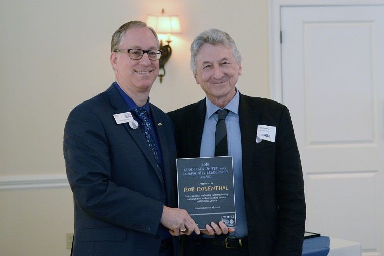
The Carnegie Foundation for the Advancement of Teaching has selected Wesleyan to receive its 2015 Community Engagement Classification. “Wesleyan has always been a place where involvement with the world was important, but in the past decade or two we have truly become a much more ‘engaged university’ in many ways, and that’s good for everyone—students, faculty, staff and our community partners,” said Rob Rosenthal, director of the Allbritton Center for the Study of Public Life, the John E. Andrus Professor of Sociology. “This kind of recognition from our peers across the country reinforces our belief that we’re doing valuable work…
Five groups of students enrolled in the Geographical Information Systems (GIS) Service Learning Laboratory course E&ES 324 presented their semester-long research Dec. 1 in Exley Science Center. Fellow students, faculty, staff, community members and community partners attended the presentations.
Wesleyan received a $10,000 grant from the Learning by Giving Foundation to support a Service Learning course titled "Money and Social Change: Innovative Paradigms and Strategies" on Sept. 18, 2012. The course is taught by Joy Anderson '89, visiting assistant professor of public policy. Students will use the $10,000 grant dollars to allocate to local organizations. The course will culminate in students writing a request for proposals based on the personal theory of change around capital and social change that they will develop throughout the course. Learn more about the class online here.
Krishna Winston, the Marcus L. Taft Professor of German Language and Literature, began serving as Wesleyan's Service-Learning Center Director on July 1. Suzanne O’Connell, who adeptly led the Center for the past five years, returned to her role as an associate professor of earth and environmental sciences, associate professor of environmental studies. Winston has long been known for her deep commitment to service, on campus and in the greater Middletown community, explains Rob Rosenthal, provost, vice president for Academic Affairs, and the John E. Andrus Professor of Sociology. Many years ago, Winston was part of the group of faculty and…
The students in ANTH 289, “Ritual, Health, and Healing” stepped outside the Wesleyan campus this spring to participate in a service learning project in the North Brooklyn neighborhood of Greenpoint. According to Assistant Professor of Anthropology Gillian Goslinga—who co-taught the course with Artist-in-Residence Jill Sigman, a North Brooklyn-based performance artist—Greenpoint is a neighborhood facing multiple health, social and environmental challenges. The students in this Creative Campus anthropology course, which is cross-listed with Science in Society and Dance, had the opportunity to collaborate with a number of community organizations, each dedicated to addressing a different issue. This is the first time…


